Club Calendar
Hike Scotchman Peak
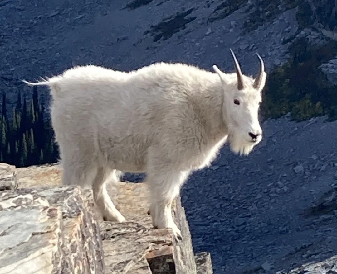
This iconic hike is a challenge to strive for. I recommend hiking some 2000 foot climb trails to prepare for this adventure. The following link from All Trails gives a good description and also a nice 3d preview. We could find goats who will look fine with their new coats for the winter. We will meet at Super 1 Hayden and have a stop at the Clark Fork Pantry prior to starting the hike.
Details to follow
Leader John Lee
Kayak and Camp Upper Priest Lake
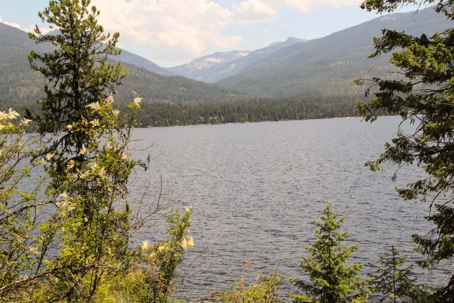
Paddle through the Thoroughfare to Upper Priest Lakewith overnight camping at Trappers Creek Campground (just off the Pacific Northwest National Scenic Trail).
Approximately 3 hour paddle each way.
Details to Follow
Leader Scott Gossard
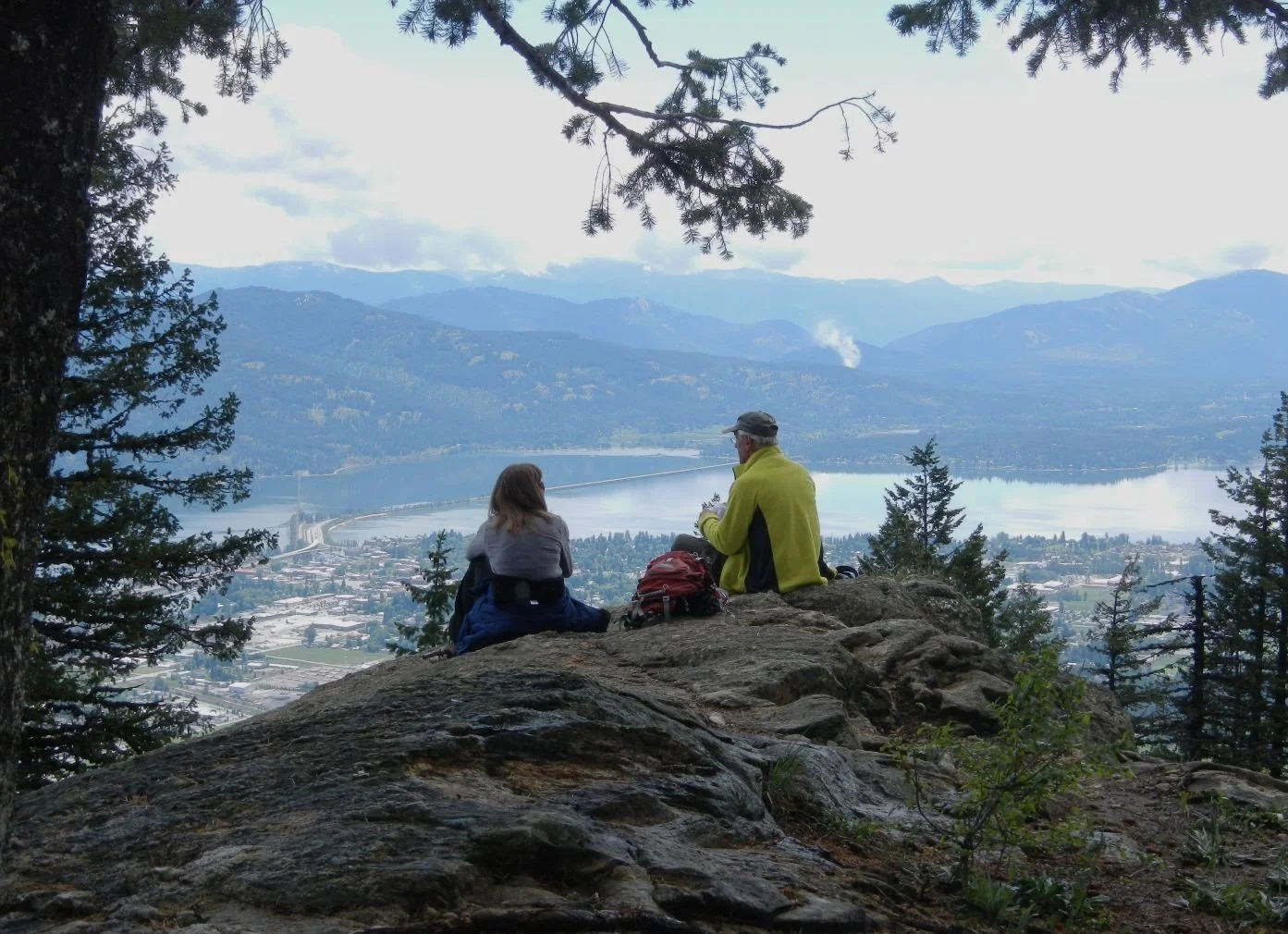
Hike Mickinnick Trail
Anyone is welcome on this hike which is a great prep for hiking Scotchman Peak. It departs from near Sandpoint, ID. Plan to meet and be ready to depart at 8:00 am at the northeast corner of the parking lot for Super 1, Hayden. Alternative, meet at the Mickinnick trailhead 13 west of Sandpoint at 9.00 am.
Details: 6.5 miles/2148 ft/5 hours
The trail provides great views of Sandpoint, Lake Pend Oreille, Scotchman Peak, the Cabinet mountains, and the Long Bridge.
Leader John Lee
home 208 772 8410
cell 208 818 8059
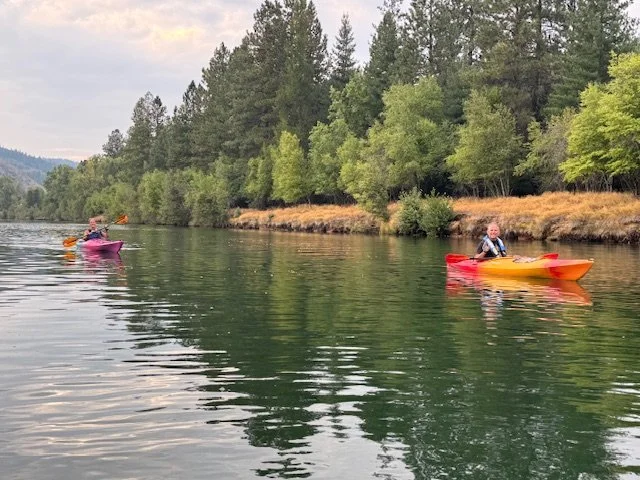
Kayak CDA River: Cataldo to Rose Lake
Kayak along the CDA River from Cataldo to the town of Rose Lake.
Details to follow
Leader Scott Gossard
Hike Thompson Pass
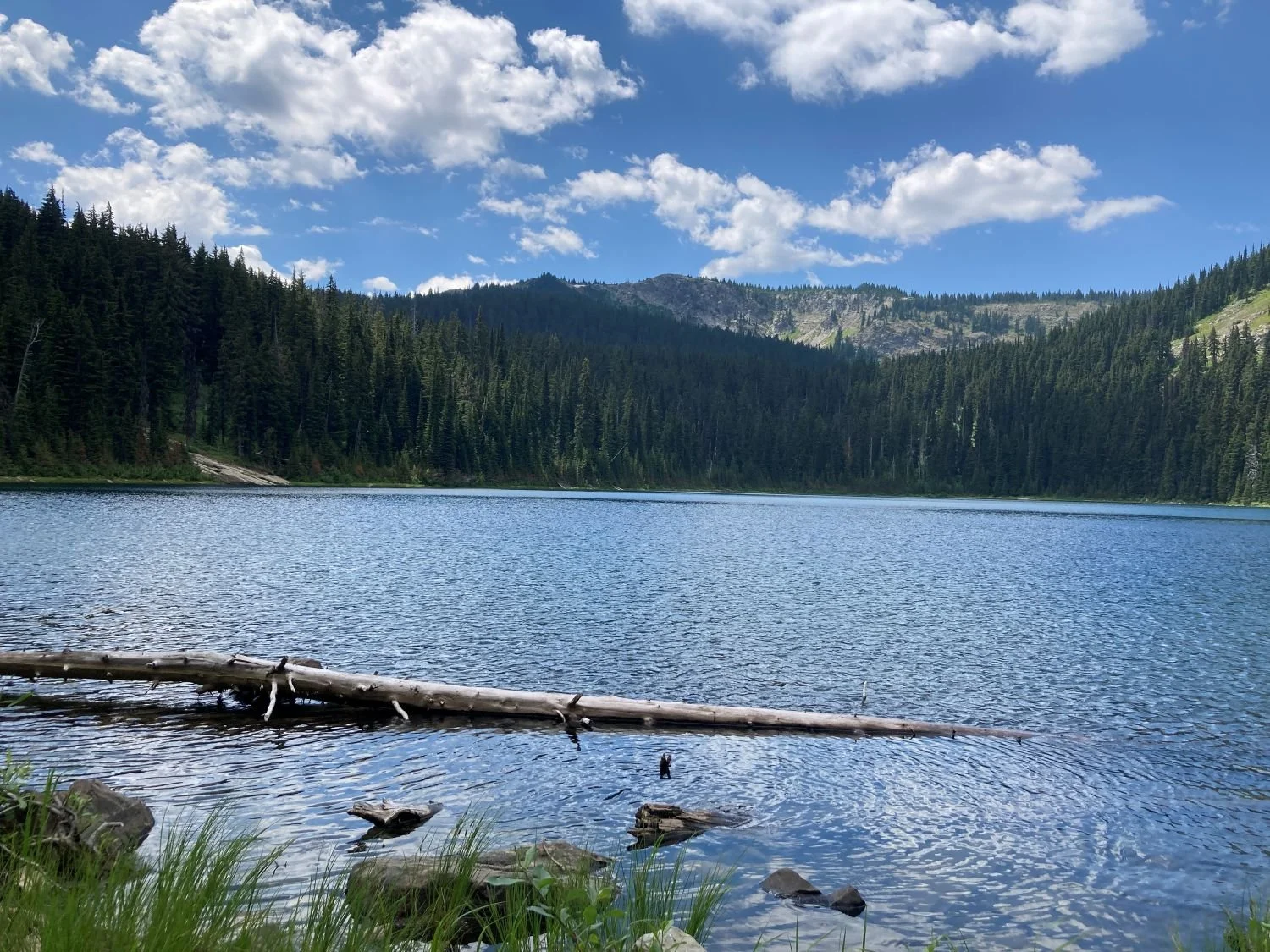
This is a moderately difficult hike leaving from the top of Thompson Pass. It is an uphill slope with a bit of rock scree. Nice Bear Grass and huckleberries along the way. Turnaround at Revett Alpine Lake. (3.3 miles/708 feet/2hours)
Details to follow.
Leaders Greg and Nancy Lewis
—————————————————————————————————————
OK, Happy Hikers!
Who is ready to head to higher ground for coolness, great views, bear grass and maybe some early huckleberries??
On Friday, meet at the Cherry Hill parking lot at 9am, to arrange carpool rides. We will leave ASAP after that. Bring bug spray and sunblock, snacks, hiking poles, good boots, water, and a fishing pole(if you are die-hard like myself!).
The drive to the pass takes about 1.5 hours. We will take Hwy 90 to Enaville, turn on to Coeur d'Alene River Road, proceed through Pritchard and Murray and park at the top of the pass.
The hike, as listed on AllTrails, is 3.3 miles one-way, BUT I think that is from the hiway parking lot. About 3/4 mile can be taken off if we drive from the parking lot to the trailhead . The elevation gain is an easy 730+ ft, so just a little climbing. The trail starts with a scramble over large rock scree, so poles are useful, but the trail is usually well-defined.
We will linger at the lake long enough to rest and recover, as long as the bugs are manageable.
On the return trip we will break at Pritchard to visit the Sprag Pole restaurant and museum. Usually the beers and burgers are good there.
Return arrival at Cherry Hill should be around 5-6pm.
If you have any questions, please email me at gnranc@gmail.com or text 208-451-4649.
If you are sure you are coming, please drop a reply to me. And, all visitors and friends of club members are welcome to come along.
See you on the trail, Nancy Lewis
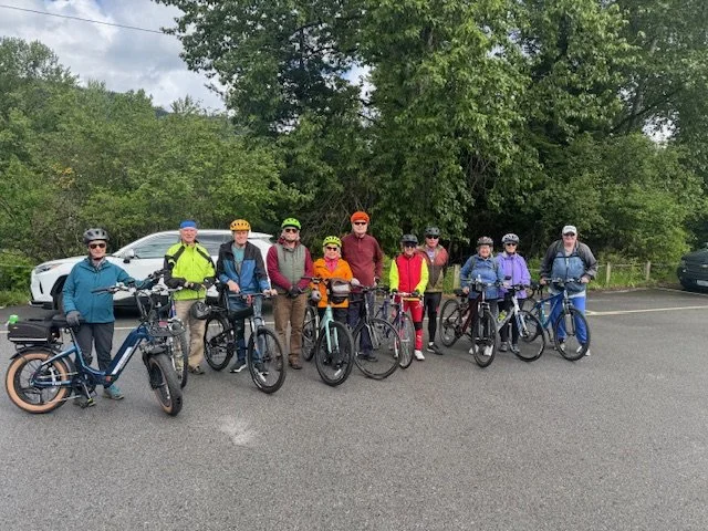
Basin Environmental Improvement Project Commission Bike Tour of Grays Meadow
The Basin Environmental Improvement Project Commission is hosting a group bike tour of the Greys Meadow wetlands area.
This guided bike tour is approximately 15 miles in length. Terrain will include dirt paths with some uneven surfaces. A mountain or gravel style bike would be best suited for this ride.
Participation in this event will be limited to 12 Panhandle Nordic Club participants due to group permitting requirements.
To register:
Please sign up by emailing Gail Yost at gail.yost@deq.idaho.gov. Include your name, email address, and cell phone number so you can receive updates or any schedule changes.
If you register but are unable to attend, please notify Gail as soon as possible so your spot can be offered to someone else.
Meet-up Location:
Trail of the Coeur d'alenes-Medimont Trail Head [10 AM]
Parking at Medimont is limited, so carpooling is strongly encouraged.
Safety & Liability
Please be advised that all participants are expected to wear a bike helmet.
Your participation in this event acknowledges that this activity is physically demanding and carries with it the potential for death, serious injury and property loss. The risks include, but are not limited to, those caused by terrain, conditions, facilities, temperature, weather, equipment, actions of other people including, but not limited to, other participants and leaders. All participants assume all of the risks of participating in this activity and shall agree to RELEASE, INDEMNIFY and HOLD HARMLESS the Panhandle Nordic Club, Basin Environmental Improvement Project Commission, its directors, officers, instructors, and members from any claims resulting from any loss or damage suffered by you or family member that you bring to this activity.

Hike and Bike Little Bear Ranch-Farragut-BBQ
Hello, PNC People,
Hope your summer is going well. It is time to mount your bike and explore Farragut State Park with us.
Join us at our private campground, Little Bear Ranch(LBR) on the border of Farragut Park. There is an easy access trail to the park from our property area. Farragut has over 45 miles of trails with a wide variety of surfaces and difficulties. Highway 54 through the park is currently closed due to resurfacing and a new campground is being constructed in the Friendship Poles area, so trails on the North side are blocked and limited. So this year's ride will be mainly on the Lynx Trails and some paved areas.
Nancy and Greg will lead an 8-mile medium difficulty bike ride for approximately 2 hours. A trail bike is all that is needed. There are nice hiking trails from the Visitor Center area, if that is more your speed.
Meet at Hayden Super One parking lot at 2pm to arrange carpool rides; we will leave at 2:15 for the quick 20 minute drive to LBR. If you want to drive yourself, the address is 31577 Caravelle Rd., Athol. There is plenty of parking space at LBR for cars, etc. We will leave there at 3pm for rides and hikes, returning about 5pm for a potluck BBQ meal and a bonfire (hopefully).
Bring chairs, eating utensils, drinks, and a dish to share, in your cooler. We have a nice grill if you want to cook meat there. If the weather is inclement and wants to "piddle" on us, there is plenty of covered area for all.
Please RSVP to this email address and let us know that you're coming. And invite your friends and family to come along too, ALL ARE WELCOME!!
Greg and Nancy Lewis
208-451-4649
Hike and Bike from Private campground on the border of Farragut State Park. Group potluck picnic & hangout in the evening.
Details to follow.
Leader Greg and Nancy Lewis
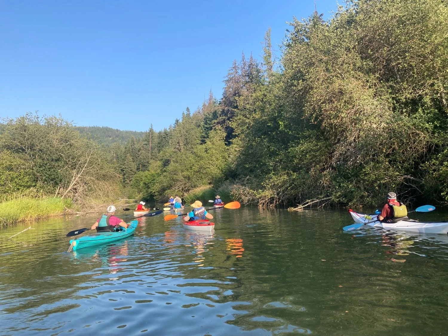
Kayak the Little Spokane River
The forecast is looking good for Saturday, mid 50's to 60 degrees. I plan to be ready to depart Lowes in Coeur d'Alene at 8:30 and arrive at the St George Put in at the Little Spokane River a little after 9:30. Everyone will off-load their kayaks and the drivers will take all vehicles to the pickup area. A minimum number of cars will return and the float will start. Time to float the river will be about three hours with a rest/lunch stop at the Petroglyphs. Anyone is welcome to meet us at 9:30 at the St George Put-in which can be found on google maps. The river flow is now less than average so the float may be a little slower. A Discovery Pass in not required this Saturday as it is a pass-free day.
Below is a link to details about kayaking The Little Spokane. Life Jackets are required.
Paddler Information - City of Spokane, Washington
Contact me if you have any questions.
John Lee
home 208 772 8410
cell 208 818 8059
“Perhaps the best way to experience the rare freshwater marsh environment is by quietly paddling a canoe or kayak down the river. Stealth observers may see a wide variety of songbirds, woodpeckers, raptors, and waterfowl.”
The above quote best describes the trip down the picturesque Little Spokane River. We will meet at the southwest corner of Coeur d’Alene Lowes parking lot for a 0830 departure to St George’s Put-in and offload the equipment. Then, the drivers will move all the cars to the pickup point near Nine Mile Road and return with minimum vehicles to the launch area. The river does not have any rapids. Just avoid any overhanging trees. We will have lunch at the halfway point near the petroglyphs. The 7-mile journey down the river should take from 3+00 to 3+30 hours, depending on the river flow. This area is a Natural Conservation area, so no dogs, alcohol, or swimming is allowed. A Washington state Discovery Pass is not required this weekend. This is a repeat of previous years and is a very attractive area with the potential to see wildlife and flowers. Once, we saw a beaver jump into the water from the bank. Kayaks can be rented from several locations in CDA.
An RSVP would assure a notification of changes. Contact me with any questions.
Leader John Lee home 208 772-8410, cell 208 818-8059,
email jleederby@aol.com
Q’emiln Park
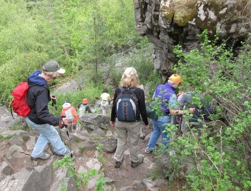
Join us on a 5 mile, 500 foot vertical moderately challenging hike around Q’emiln Park and Post Falls Community Forest. Perhaps we will find Diamond Dick’s mine. Plan on meeting at the parking lot as you enter the park on Parkway drive. Parking should be free as this is before Memorial Day.
Leader John Lee
208 818 8059
Bike North Fork of the CDA River
Today's bike ride is CANCELLED due to 100% chance of rain and high winds.
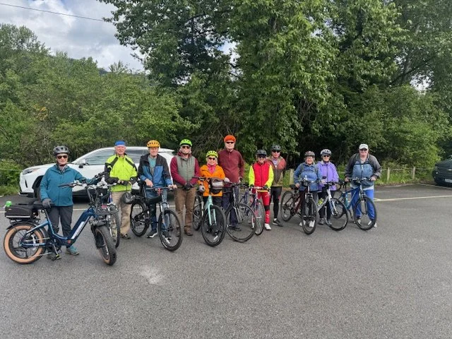
Depart from Kingston, Id Trail of the CDA Trailhead. Ride along the North Fork of the CDA River(≈20 miles)
Start Time is 10 AM from Idaho Fish & Game, Freeman’s Eddy parking lot (1/2+miles beyond Albert’s Landing)
Please wear a Helmet and bright clothes. The bike route is along the North Fork of the Coeur d' Alene River on the Old River Road. This is a paved secondary road which is somewhat rough in places with potholes. This is an out and back route with a total of 24 miles, but feel free to do a shorter ride.
For those inclined, the group may do lunch at one of the local restaurants after our ride.
In the event of rain, we will cancel this trip.
Hope to see you all for a fun bike day!
Directions
The drive is about 31miles - 50 minutes from Sherman & I-90 East. Expect areas of road construction.
Take I-90 East for 27 miles to Kingston Exit 43.
Turn L on Cd’A River Road toward Prichard & Enaville.
Go past Snake Pit Enaville about 1/2 mile and Turn R on Old River Road.
Stay left over one lane bridge.
Go past Albert’s Landing 1/2 mile and turn R down gravel drive. There is a small Idaho Fish & Game sign. Park in Freeman’s Eddy lot and boat launch.
Leader: Mary Ayers: (208)-660-8246 / mayayers@yahoo.com
April Club Meeting
April 7th Meeting : 6:00 PM [Highland Grill and Taphouse-Highlands Golf Course-5600 E Mullan Ave., Post Falls, ID. 83854]
We will hold our last club meeting of the season on Tuesday April 7th at 6 PM at the location listed above.
We will meet to enjoy food, drinks, good cheer, and the development of a summer schedule of club activities. Bring your suggestions for summer club outings you wish to lead.
You will each be able to order your own food and drink from the house menu if you wish.
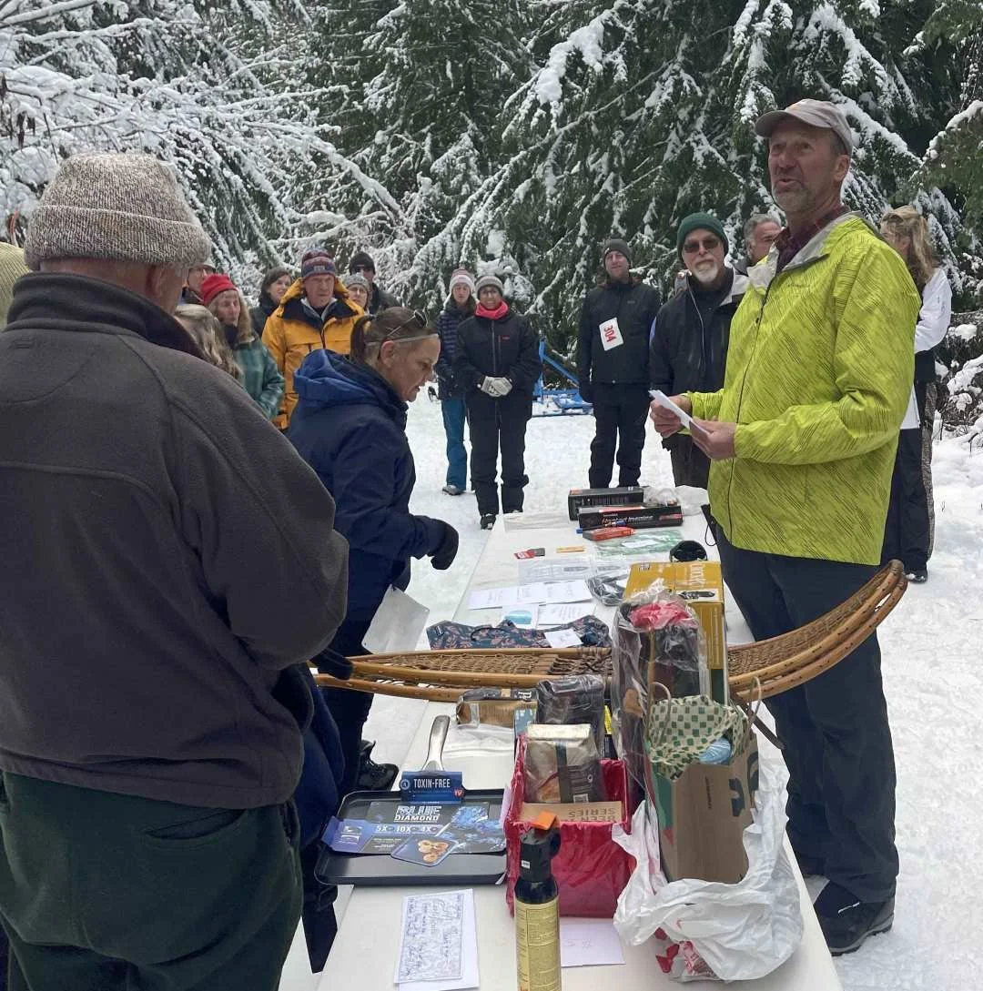
Also, if you are participating in the 2025-2026 YA I DU SKI non-competitive ski event this season and have not already turned in your tally sheet, email your completed sheet to roberta.truscott@gmail.com ASAP. Prizes for this event will be awarded at our April 7th Meeting.
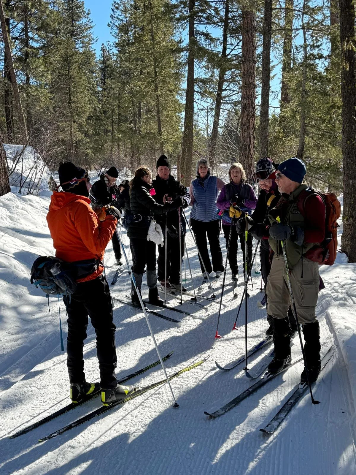
Group Ski Outing
Join us at Fourth of July Pass every 2nd and 4th Wednesday of each month for group cross-country skiing.
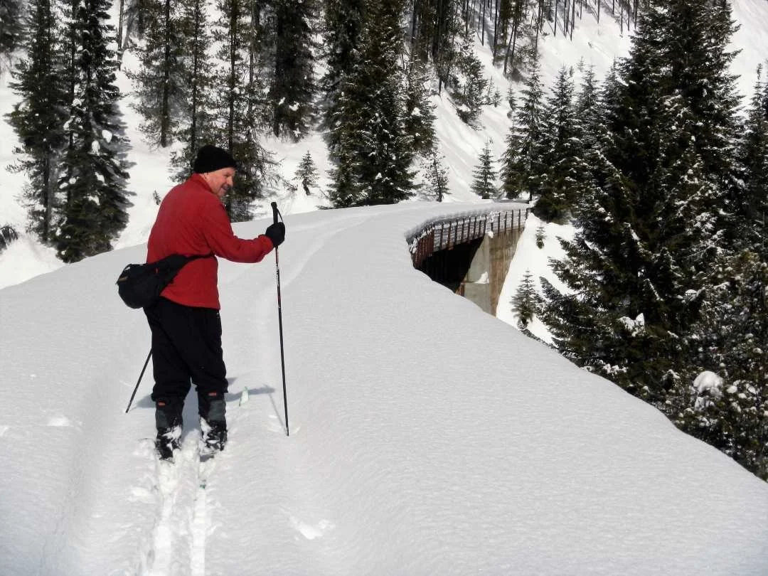

Group Ski Outing
Join us at Fourth of July Pass every 2nd and 4th Wednesday of each month for group cross-country skiing.






Interested in leading an event for our club? Complete this form and send it our way!
-
Promotion Guidelines
Announce trip at the club meeting with date, location and type of activity planned along with a “rsvp by” date.
Website Posting
Provide a description of the trip you plan to lead, include:
Meeting place/s, carpool or trailhead location.
Show up time and departure time for both locations.
If available, identify internet link/s or trail guide references that provide details about the activity area.
Provide driving instructions in the description:
To meeting location/s for carpooling and the final destination.
If available, provide internet link to route descriptions or maps.
Also provide the following information in description:
Trip Leaders name and contact information
Length of trip
Level of activity easy, moderate or difficult
Email trip description to website coordinator to post on club website
Participation Guidelines
Before departing, the trip leader should ensure that participation and travel plans are established and understood by the group. Following are guidelines that should be practiced or considered:
Create a roster of all the participants, as a minimum include:
Name
Phone Numbers
Review driving instructions to activity trailhead, meeting time/s and coordinate carpool assignments.
Review the activity description provided on the club website. Ensure that participants are comfortable with & prepared for:
Level of difficulty, distance and estimated time to complete (as a group).
Their clothing, shoes, and equipment.
Hazards and how to respond (such as: wildlife, steep terrain, cold or wet
weather, slippery footing, etc.).
Pair-up participants as a precaution to avoid losing someone.
If possible, ensure that the following items are available personally or within the group during the activity:
1st Aid kit (recommend having knee and ankle support available)
Fire starter & Flashlight
Knife & Duct tape
Map, Compass, GPS (if available)
*For ski/snowshoe activities: bring extra equipment (e.g. poles, wax, etc.) and tools suitable for making minor repairs.
TRAIL CLASSIFICATIONS
The following trail classifications are intended for use by trip leaders as they begin planning their hike or cross country ski adventure and for the club members to acquaint themselves with how we rate hikes or ski trips so everyone can get the most enjoyment (and least frustration) from an outing.
The descriptions that follow are to be considered general guidelines to be modified as the trip leader feels appropriate for the hike or ski trip being planned.
Easy
Outings of this type will generally consist of trips that:
are two to four miles long with vertical gain of 500 feet or less
have little or no trail obstacles for hiking and water crossings that are shallow and allow easy stepping to cross
are along unpaved, well developed trails (think state parks) with good footing and often are double track width
have flat or gentle slopes and tracked trails for skiing
Moderate (most common)
Outings of this type will generally consist of trips that:
are four to seven miles long on unpaved terrain with vertical gain of 1,000 - 1,500 feet
have hiking obstacles that could involve climbing over fallen trees, stream crossings on stones or fallen log bridges and rocky and rooted footing
are on single track trails with steeper side slopes
have tracked trails but with steeper and longer slopes and curves for skiers
Difficult
Outings of this type will be for persons in good physical condition, experienced in hiking/skiing/snowshoeing and will consist of trips that:
are more than seven miles long, on unpaved terrain and are on single track trails
have hikes with vertical gain of 1,500 feet and greater
have hiking obstacles that could involve steeply sloped trails, climbing over fallen trees, stream crossings on stones or fallen log bridges, rocky and rooted footing, crossing talus fields and steep or vertical side slopes
have steep slopes for skiers that require proficiency in balance, turning and speed control and that may not be tracked
Let the fun begin!